Navigation should be intelligent, contextual and human-centric
CyberMaps was born from the belief that navigation should be intelligent, contextual, and human-centric. We're transforming how people, platforms, and vehicles move through the world — smarter, safer, and more connected.
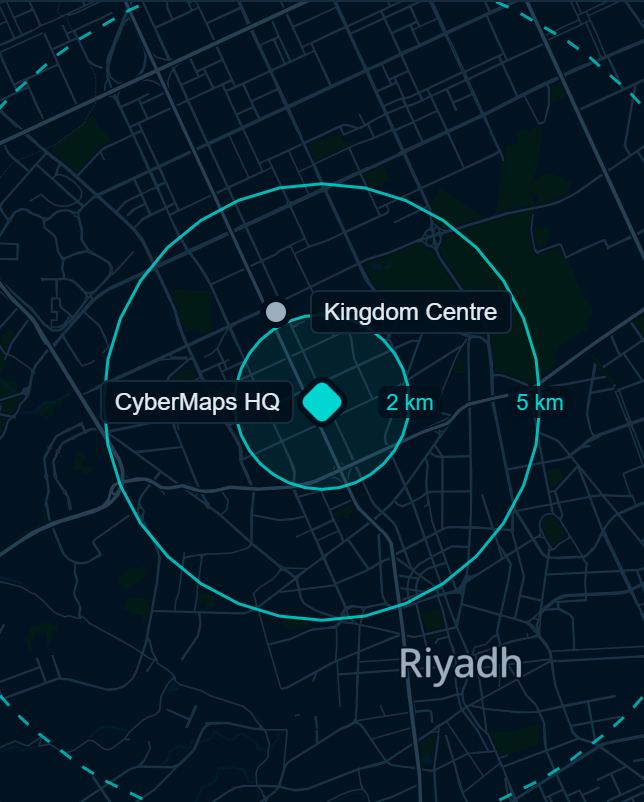
Mission
To empower developers, businesses, and cities with next-generation navigation, location, and mobility solutions powered by AI and real-time data.
Vision
To become the core engine behind how cities, vehicles, and apps understand space, location, and movement.
What we do
Our work stacks like the layers of a map. Data at the base, the street map on top of it, navigation on top of that, and consultancy across all three.
AI navigation
NavGPT, a navigation assistant that understands natural language in Arabic and English.
Geospatial consultancy
Advice and implementation support for organisations adopting location technology.
Location platform
Maps, routing, search and data tools for developers.
Why we started
Most navigation tools were designed elsewhere and translated in. They handle Arabic as an afterthought and miss how people in the region describe places and plan their day.
We started CyberMaps in Riyadh to build location technology that begins with this region: its language, its cities and the way people move through them.
By street name
400 m
Turn right onto Prince Muhammad Ibn Abd Al Aziz Road
The way people here say it
عند إشارة التحلية لف يمين
At the Tahlia lights, turn right